Powerful Cold Snap Brings Heavy Snow and Disrupts Travel
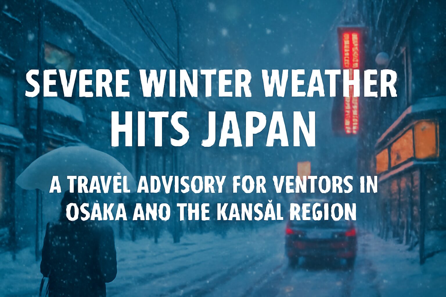
A significant winter storm, driven by a powerful cold air mass, is currently impacting large parts of Japan, causing major travel disruptions. While the Kansai region, including Osaka, Kyoto, and Kobe, may experience less severe weather, travelers using the area as a hub should be aware of widespread cancellations and delays, especially for services heading to northern and western Japan.
Authorities are advising caution as heavy snowfall and dangerously strong winds are forecast to continue, particularly along the coast of the Sea of Japan. This advisory is crucial for tourists with multi-city itineraries or those planning day trips from the Kansai area.
Areas Most Affected
The brunt of the storm is concentrated along the Sea of Japan coastline, from the Hokuriku region (including Ishikawa and Niigata prefectures) up through the Tohoku region and into Hokkaido.
Forecasts from the Japan Meteorological Agency predict significant accumulations, with some mountainous areas in the Hokuriku and Tohoku regions potentially seeing over 80 cm of new snow within a 24-hour period. In addition to the snow, gale-force winds are creating blizzard conditions, severely reducing visibility and making travel hazardous. This severe weather is expected to persist for the next several days.
Impact on Travel from the Kansai Region
Even if the weather in Osaka seems calm, the effects of the storm elsewhere are having a significant ripple effect on transportation networks connecting to the Kansai region.
Flights
Major airports in Kansai, such as Kansai International Airport (KIX) and Osaka International Airport (Itami, ITM), are experiencing delays and cancellations. This primarily affects domestic flights to and from airports in snow-affected regions like Sapporo (CTS), Niigata (KIJ), and Sendai (SDJ). Several airlines have already cancelled dozens of flights, and more are anticipated. International flights may also be affected by aircraft and crew rotation issues.
Train Services
Shinkansen (bullet train) and limited express train services are also facing disruptions. The Tokaido-Sanyo Shinkansen line, which connects Tokyo, Kyoto, Osaka, and Fukuoka, may operate at reduced speeds in certain sections, causing delays.
Limited express services that connect Kansai with the Hokuriku region, such as the “Thunderbird,” are particularly vulnerable to suspension or significant delays. Japan Railways (JR) West has urged passengers to check their official website for real-time operational status.
Background: Why Japan Experiences Such Heavy Snow
This weather pattern is a classic example of Japan’s “winter-type pressure distribution.” Cold, dry air from the Siberian landmass sweeps across the relatively warm Sea of Japan, picking up vast amounts of moisture. When this moisture-laden air hits the central mountain ranges of Japan, it is forced upward, rapidly cools, and dumps its moisture as heavy snow. This phenomenon, often intensified by the Japan sea Polar air mass Convergence Zone (JPCZ), makes Japan’s western coast one of the snowiest places on Earth.
What You Should Do: Advice for Travelers
For those currently in or traveling through the Kansai region, proactive planning is essential.
Check Before You Go
Do not leave for the airport or train station without first confirming the status of your transportation. Check the official websites or mobile apps of your airline (e.g., JAL, ANA) or train operator (e.g., JR West).
Allow Extra Time
Even if your service is running, public transport to airports and major stations may be delayed. Plan to leave much earlier than you normally would.
Consider Flexible Plans
If your travel is not essential, consider postponing it. If you must travel, have backup plans, such as alternative routes or accommodation options in case you get stranded.
Stay Warm and Safe
Temperatures are dropping across the country, including in Osaka. Ensure you have adequate winter clothing, including warm, waterproof layers, especially if your journey is disrupted and you face unexpected waits outdoors.
Outlook for the Coming Days
This severe winter weather is not a short-term event. Forecasters expect the cold snap and snowy conditions to continue for at least the next 48 to 72 hours. Even after the snowfall subsides, it will take time for transportation services to return to their normal schedules. Travelers should continue to monitor weather reports and transportation updates closely throughout the week.