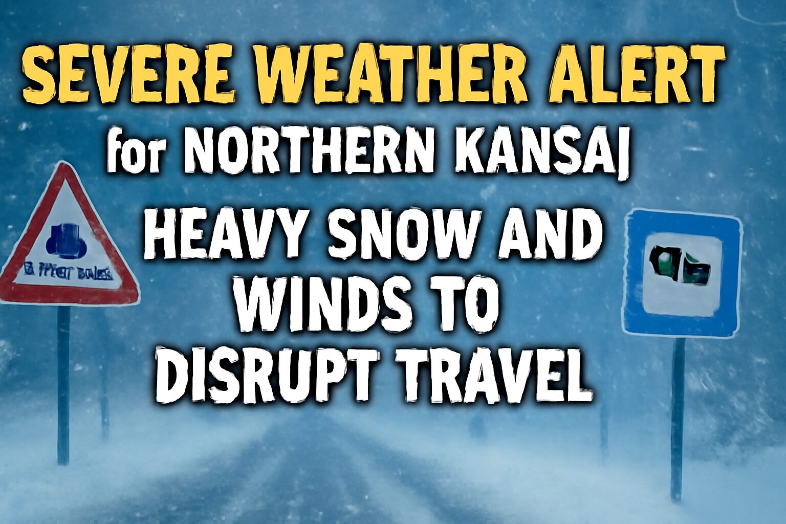
A significant weather warning has been issued by the Japan Meteorological Agency (JMA), forecasting heavy snow and high winds for the northern parts of the Kansai region over the next 48 hours. Travelers heading to or from areas in northern Kyoto and Hyogo prefectures, including popular destinations like Kinosaki Onsen and Amanohashidate, should prepare for major disruptions to transportation services.
What You Need to Know
The warning highlights a strong winter pressure system that is expected to bring a surge of cold air, resulting in severe weather conditions.
- Affected Areas: The primary areas of concern are the northern, mountainous regions of Kyoto and Hyogo prefectures, which face the Sea of Japan.
- Conditions: Expect heavy snowfall, strong winds, and potentially blizzard-like conditions, leading to poor visibility and hazardous road conditions.
- Duration: The most intense weather is forecast for the upcoming 48-hour period.
Impact on Travel Services
This weather event is highly likely to affect major transportation networks connecting Osaka and the wider Kansai area to the northern coast.
Air Travel
Both Kansai International Airport (KIX) and Osaka International (Itami) Airport (ITM) have indicated the potential for flight delays and cancellations. While flights to southern Japan may be unaffected, services to and from airports along the Sea of Japan coast (such as Tajima Airport) and routes that cross over the affected mountain ranges could be impacted. Travelers are strongly advised to check their flight status directly with their airline before heading to the airport.
Rail Services
JR West has warned of possible significant delays, service suspensions, and schedule changes, particularly on lines running towards the Sea of Japan. This includes:
- JR San’in Main Line: The primary route for accessing Kinosaki Onsen.
- JR Fukuchiyama Line: A key connector line for the northern region.
Limited Express services, such as the “Kounotori” and “Kinosaki” which connect Osaka/Kyoto with destinations like Fukuchiyama and Kinosaki Onsen, are at high risk of disruption. In past similar weather events, these services have been suspended for extended periods for safety reasons.
Background: A Typical But Powerful Winter Pattern
This type of weather is caused by a classic “west-high, east-low” (西高東低, seikō-tōtei) winter pressure pattern. A powerful Siberian high-pressure system pushes cold, dry air over the relatively warm Sea of Japan. This air picks up moisture and then releases it as heavy snow when it hits the mountains of Japan’s main island.
Historically, these weather systems can dump significant amounts of snow in a short period. It is not uncommon for mountainous parts of northern Hyogo to receive over 50-70 cm of snow in a 24-hour period during such events, making roads impassable and isolating communities.
What Travelers Should Do
Proactive planning is crucial for anyone whose itinerary includes the affected areas.
Check Before You Travel
The most important step is to get the latest information. Do not rely on your original schedule.
- For Rail: Check the JR West official website for real-time operational status. The site is available in English.
- For Flights: Visit your airline’s official website or app for the most current information on your flight.
Consider Alternative Plans
If your trip to northern Kansai is scheduled within the next two days and is not essential, consider postponing or exploring alternative destinations. Central Osaka, Kyoto, Kobe, and Nara are less likely to be severely affected by snowfall and offer plenty of indoor attractions.
Stay Safe and Informed
For the latest weather updates, refer to the Japan Meteorological Agency (JMA) website. If you are already in the affected area, avoid unnecessary travel, especially by car, and follow local guidance.